Sarah Keith-Lucas
Lead Weather Presenter
Simon King
Lead Weather Presenter
Southern England saw its wettest September since 1918, according to newly released figures from the Met Office.
Ten English counties experienced their wettest September on record with some places seeing three or four times their average rainfall for the month.
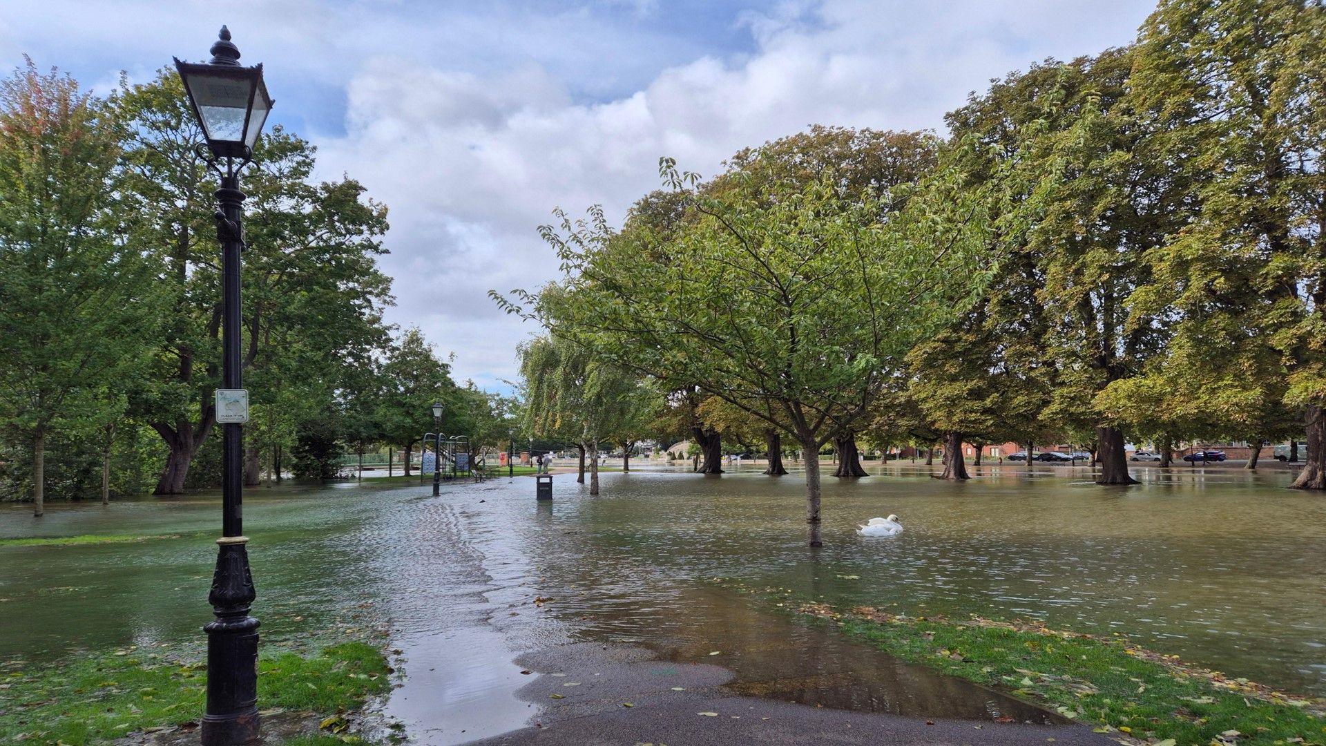
The heavy and relentless rain in some parts of southern England and Wales led to flooding and disruption.
It was not wet everywhere, though, and for Scotland and Northern Ireland, it was a drier and sunnier month than average.
Where was the wettest weather?
Some counties in central and southern England had three times their expected September rainfall, and more rain in one month than would normally fall during the whole of autumn.
Bedfordshire, Berkshire, Buckinghamshire, Gloucestershire, Northamptonshire, Oxfordshire and Wiltshire have not previously recorded so much September rainfall, with records going back 187 years.
Additionally, the Met Office said that Bedfordshire and Oxfordshire had their wettest calendar month ever recorded in a series going back to 1836.
Woburn in Bedfordshire saw 248mm (9.8in) of rain, compared to a September average for the town of just 55mm (2.2in) – more than four times the average.
This far exceeds Woburn’s previous wettest month when 182mm (7.2in) was recorded back in November 1940.
The frequent downpours left the ground saturated and led to flooding across much of central and southern England over recent weeks.
Some of the worst affected river catchments included the Nene in Cambridgeshire and the Great Ouse in Bedfordshire where Environment Agency flood warnings, external were issued frequently over the past month.
Why so wet in the south?
Usually, we would expect the wettest weather this time of year to be focused towards the north and north-west of the UK, so what has gone on this September to turn the weather upside down?
It has been mainly down to the behaviour of the jet steam – the fast-moving ribbon of air in the upper atmosphere – delivering weather systems to our shores.
This has been positioned further south than usual and has meant low pressure systems have tracked more frequently across England and Wales, while leaving Scotland and Northern Ireland relatively drier.
Image source, BBC Weather
This set-up of the jet stream and pressure was fairly typical this September
What about temperature and sunshine?
The mean temperature across the UK as a whole was 12.7 C, which is 0.3 C below the long-term average.
This follows the coolest summer since 2015 when the UK as a whole experienced temperatures 0.22C below the long-term average.
There was also a lack of overnight frosts due to cloudy skies and brisk winds in the south.
Sunshine amounts overall across the UK were just below average but for Scotland and Northern Ireland it was sunnier with 18% and 17% more sunshine respectively.
How about the rest of autumn?
Autumn – meteorologically speaking – runs until the end of November, so are there any signs of a drier spell of weather to balance out the season?
Long-range computer models are hinting at the unsettled weather continuing, with rather changeable and slightly windier conditions lasting until the middle of October.
Towards the end of the month, there is a higher chance of a more settled spell for Scotland and Northern Ireland, but England and Wales are more likely to stay slightly wetter and windier at times.
Overall, forecasts indicate that autumn 2024 will be slightly wetter, windier and warmer than average, but spells of drier and calmer weather will also occur from time to time.


