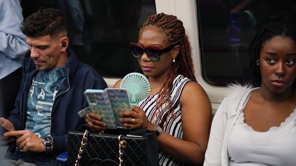
A commuter with a portable handheld fan on the tube
Saturday is expected to be the hottest day of the year as September’s warm weather reaches its peak.
The UK experienced its hottest September day since 2016 on Wednesday, with 32C (89F) recorded in Kew Gardens in west London.
Heat-health alerts have been upgraded to amber for much of England, with only the North East under a yellow one.
It means people of all ages could be affected, putting the NHS at risk.
Areas of West Yorkshire, Cornwall, Devon and Wales all hit the heatwave threshold on Tuesday, the Met Office said, although the hottest temperatures did not pass June’s 32.2C high – the current hottest day of the year.
Saturday could see temperatures reach as high as 33C in London, although it will be cooler further north.
On Wednesday much of England and Wales remained in the high 20s. But areas of north-east Scotland and the north of England experienced cooler temperatures due to sea fog.
BBC Weather’s Matt Taylor tells us what to expect for the rest of the week
Most of Scotland and Northern Ireland saw temperatures in the mid-20Cs and there could be some isolated thunderstorms overnight into Thursday in some northern and western areas.
There is a chance of tropical nights in the south of England, defined as temperatures being over 20C, with Wednesday and Thursday threatening to break the September night time record of 21.7C.
A temperature of 30C has already been recorded in the UK for three consecutive days, matching the record for September, the Met Office said.
The hot spell is being driven by tropical storms pushing high pressure over the UK, the Met Office said.
Meteorologist Amy Bokota said 13 weather stations had officially recorded a heatwave on Tuesday and she expected “a few extra” would be added to that list over the coming days.
Heatwave criteria are met when a location records a period of at least three consecutive days with daily maximum temperatures meeting the heatwave threshold – which varies between 25C and 28C across the UK.
BBC Weather’s Matt Taylor said air quality would deteriorate for many during the second half of the week, partly due to the sunshine and heat.
“Under areas of high pressure pollutants get trapped and build up,” he said. “South-easterly winds also help to bring in polluted air from industrial parts of northwest Europe.”
The worst conditions look to be on Friday and Saturday, before improving later in the weekend as the breakdown of the mainly hot and dry weather begins across the north-west of the UK.
How are you coping with the hot weather? Get in touch.
English regions included in the amber warning are: London, the South East, the South West, the East and West Midlands, the East, North West and Yorkshire and Humber.
All eight were issued with a yellow warning on Monday but this has now been upgraded.
The North East is the last remaining region to have a yellow alert in place – this means that the elderly and those with pre-existing health conditions should take extra care.
It also means officials do not believe there will be a significant impact on the NHS in the area.
The hot weather comes after what has generally been regarded as cool, wet summer for much of the UK.
While July in particular was wetter and cooler than average with the maximum temperature failing to regularly reach 20C, the previous month was the UK’s hottest June on record.
Average temperatures are expected to return by the middle of next week, with changes starting to be seen over the weekend.
Heatwaves are becoming more likely and more extreme because of climate change.
Last year the UK recorded temperatures above 40C for the first time. Scientists said that would have been “virtually impossible without climate change”.
The Met Office has also explained the reason for some “picturesque” sunsets across the UK.
Forecasters say it is due to “Saharan dust” which began to cover parts of the country yesterday and will continue for the rest of the week.
Summer weather: will there be a heatwave?


